Moutoa Whirokino Catchment Area
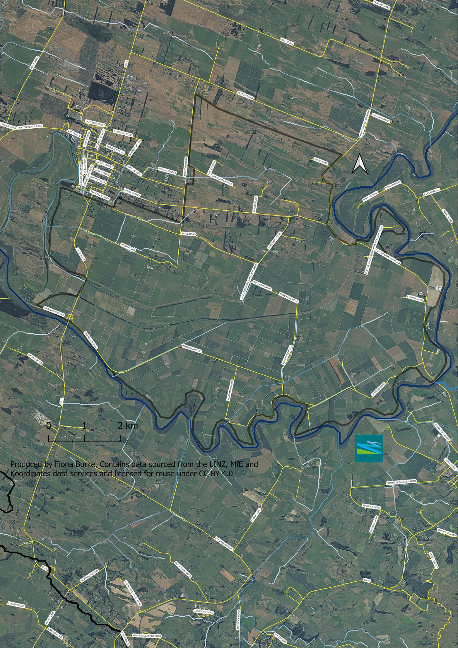
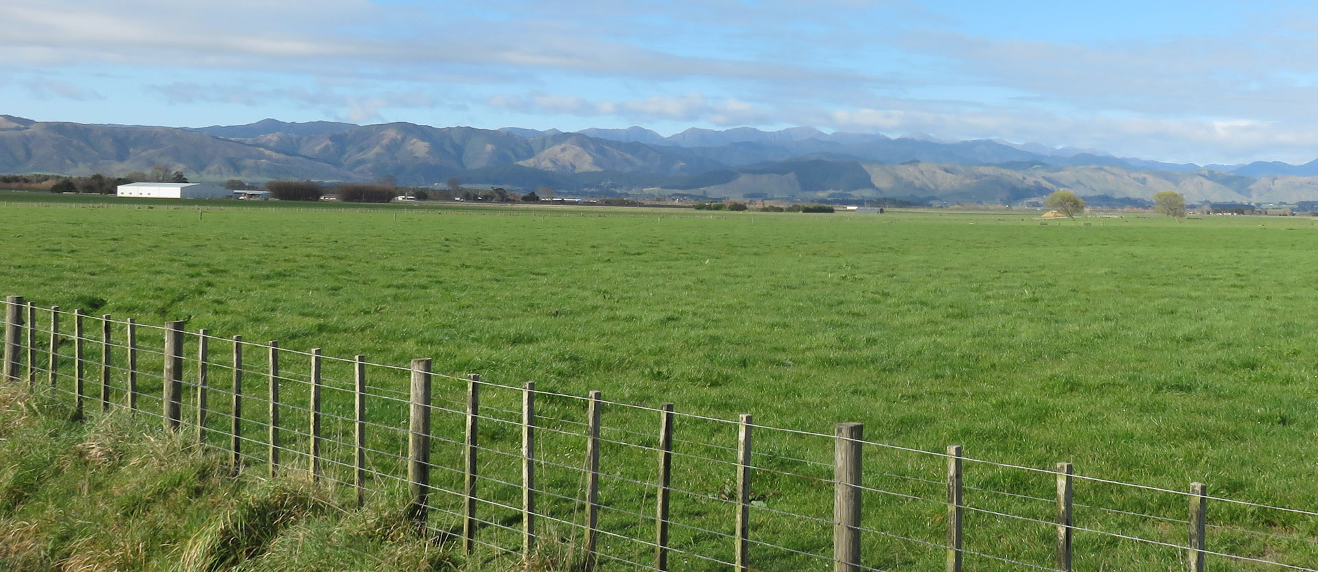
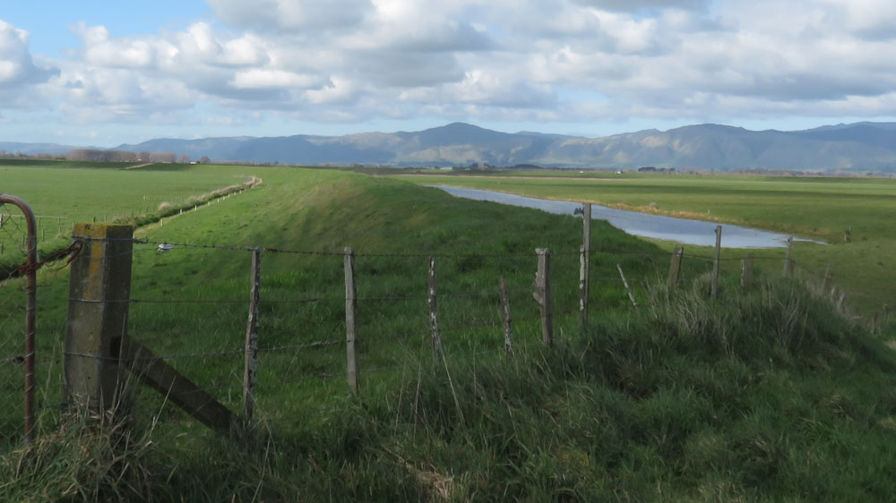
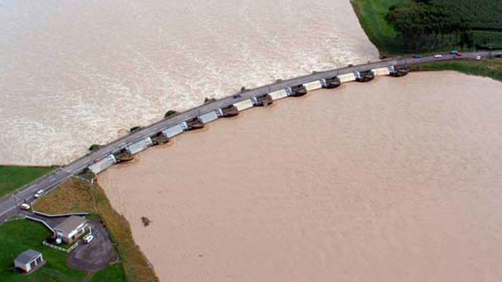
The Moutoa Whirokino catchment is a very unique environment with the Manawatū River spillway running through the middle of the catchment.
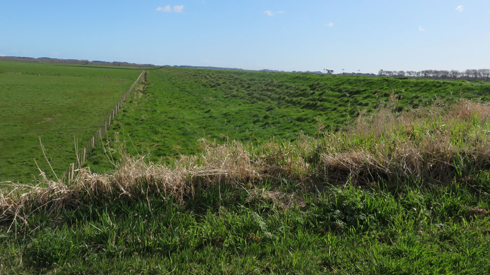
The catchment is protected by the river through 5.5m stop banks as the land is at river water level. This area was once a flax swamp, a drainage scheme was designed and built using a drain and pump system to pump the water back out into the river to reclaim the fertile land for farming.
Moutoa Whirokino Catchment Group Vision:
Moutoa Whirokino catchment want to continue building the community environment and continue building sustainable, financially viable businesses.
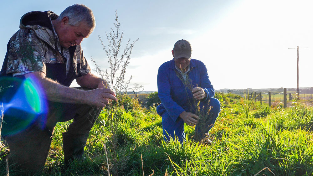
They want to share their farming environment and educate the surrounding urban community. The catchment wants to learn more through science-based trials and share the findings with each other to improve their own farming practices to improve the health of the land and waterways.
On-going projects
Massey University to analyse nutrient levels
Massey University has been contracted by the MRCC to assess nutrients (nitrogen and phosphorus) flow pathways in Moutoa – Whirokino area.
Massey will analyse the catchment to determine areas of concern with higher nutrient levels to insert mitigation options prior to runoff entering the drains and Manawatū River. They will also monitor and assess the effects of the continuous draining of the soil on the soil structure and if there are ways to improve and control the level of drainage to improve soil conditions.

