Apiti Catchment Area
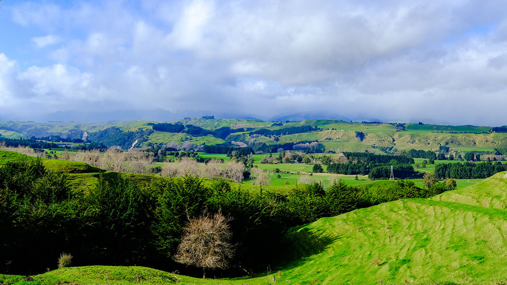
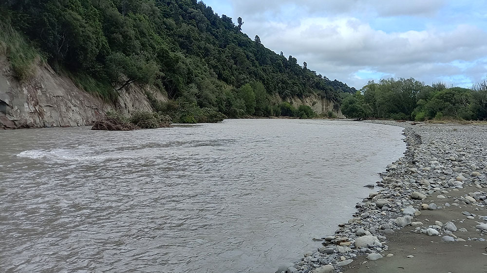
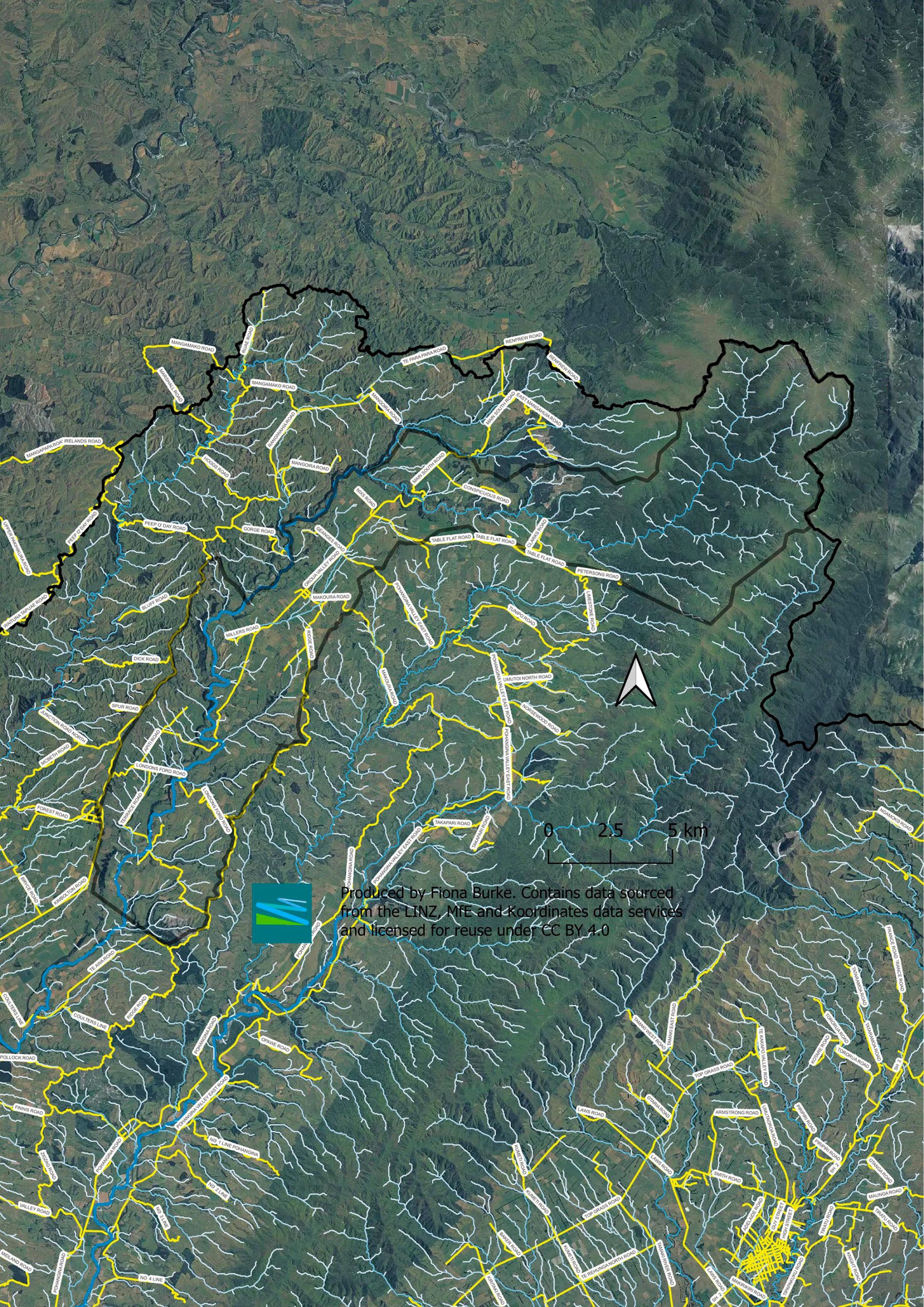
The Apiti catchment is situated north of Feilding with the Oroua river a highlighted feature running the length of the catchment. The catchment is north and east of Kimbolton, the ‘gateway to the Ruahine Ranges’.
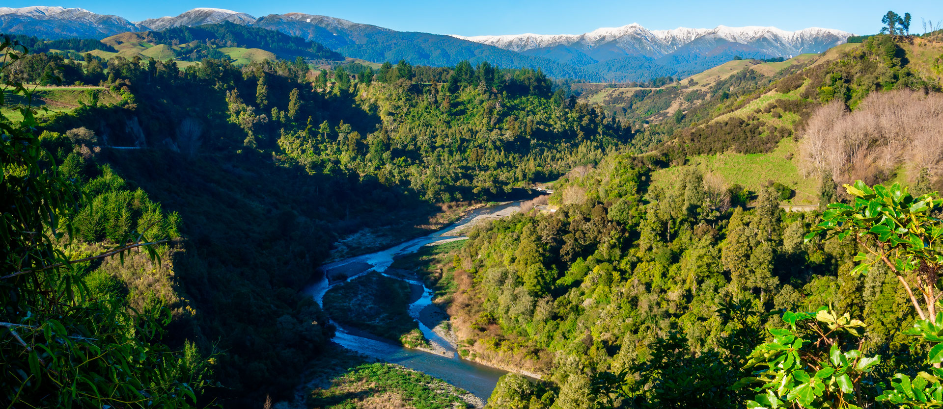
Surrounding the farmland, the environment blends into native bush with access to many amazing tramping tracks, camping sites, swimming spots, a glowworm cave and river habitat for the endangered blue duck.
Both the Apiti and Kimbolton Villages have a School, Community Hall and taverns. The ‘Manawatū Scenic Route’ finishes at Apiti and you can visit the Apiti Tavern which serves a delicious slow-cooked BBQ meat menu.
Apiti Catchment Group Vision:
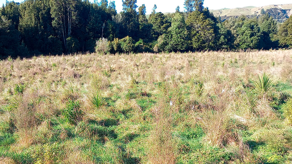
We want to stay ahead of the regulations to make environmental improvements. Targeting weed and pest control in the water on farm and in bushland so everyone gets to enjoy the area now and in the future. We want to monitor and increase the bird life including bringing back kiwi and protect the future of our river.
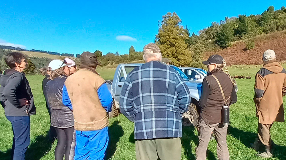
We also want to keep the community connected and support local businesses.
